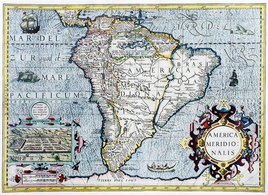
17th Century Map Of South America is a photograph by Georgette Douwma which was uploaded on May 9th, 2013.
17th Century Map Of South America
South America, 17th century Dutch map. This shows the new continent that was being discovered by European explorers. The shape is distorted because... more
Title
17th Century Map Of South America
Artist
Georgette Douwma
Medium
Photograph
Description
South America, 17th century Dutch map. This shows the new continent that was being discovered by European explorers. The shape is distorted because it had not yet been accurately mapped. Two large rivers in Brazil are shown flowing from a large lake in eastern Brazil. The western coastline is by now fairly accurately mapped, but it was still not realised that Tierra del Fuego (bottom centre) in the Straits of Magellan, was a group of islands and not part of a large southern continent. The inset at lower left shows the Incan city of Cuzco in Peru. This map, published around 1630 by Jodocus Hondius, continued the earlier work of Gerard Mercator.
Uploaded
May 9th, 2013
More from Georgette Douwma
Comments
There are no comments for 17th Century Map Of South America. Click here to post the first comment.


