Looking for design inspiration?   Browse our curated collections!

Previous Image

|

Next Image
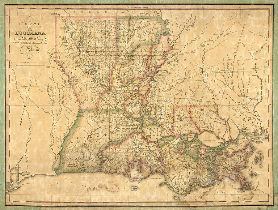
Louisiana Map Drawing - Antique Map of Louisiana by John Melish - 1820 by Blue Monocle

Antique Map of Louisiana by John Melish - 1820 is a drawing by Blue Monocle which was uploaded on November 11th, 2014.

More from Blue Monocle

View Profile

Antique Map of New Orleans by Currier and Ives - circa 1885 by Blue Monocle
Antique Map of Louisiana by Fielding Lucas - circa 1817 by Blue Monocle
Antique Map of New Orleans by Balduin Mollhausen - 1845 by Blue Monocle
Antique Map of New Orleans by Thomas Jefferys - 1759 by Blue Monocle
Antique Map of Louisiana and the Mississippi River by John Senex - 1721 by Blue Monocle
Antique Map of New Orleans - USGS Topographic Map - 1932 by Blue Monocle
Antique Map of the Gulf Coast and the Southeast by Nicolas de Fer - 1701 by Blue Monocle
Antique Map of New Orleans Louisiana by Samuel Augustus Mitchell - 1863 by Blue Monocle
Antique Map of Louisiana by Mathew Carey - 1814 by Blue Monocle
Antique Map of New Orleans by I. Tanesse - 1817 by Blue Monocle
Antique Map of the Gulf Coast by Alexandre de Batz - 1747 by Blue Monocle
Vintage Map of Louisiana, 1840s by Blue Monocle

Comments (2)

Elijah Knight

Elijah Knight

Congratulations

Lisa Bell

Lisa Bell

congrats on your sale

Recently Viewed

Antique Map of Louisiana by John Melish - 1820 by Blue Monocle
Previous Image Next Image