Looking for design inspiration?   Browse our curated collections!

Previous Image

|

Next Image
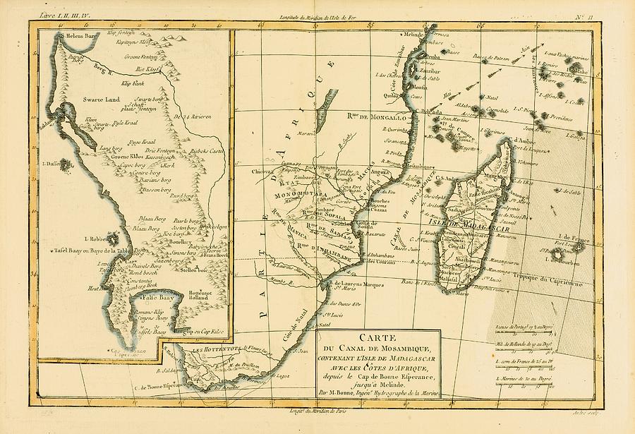
Southern Drawing - Map Of Southern Africa And Madagascar by Vintage Design Pics

Map Of Southern Africa And Madagascar is a drawing by Vintage Design Pics which was uploaded on July 16th, 2015.

More from Vintage Design Pics

View Profile

Map Of Southern India, Circa.1760. From by Vintage Design Pics
Map Of Southern Mexico, Circa.1760 by Vintage Design Pics
Booshuana Village, Southern Africa by Vintage Design Pics
Map Of Southern Brazil, Circa.1760 by Vintage Design Pics
Map Of Chil  And Southern Peru To Cape by Vintage Design Pics
Track Chart Of The Main Southern by Vintage Design Pics
The Victoria Falls Or Mosi-oa-tunya by Vintage Design Pics
Thomas Southerne, 1660 To 1746. Irish by Vintage Design Pics
Sheepshearing In Southern California by Vintage Design Pics
Hunting Alligators In The Southern by Vintage Design Pics
19th Century View Of Goodwood House by Vintage Design Pics
Malaga, Spain, From The Sugar Fields By by Vintage Design Pics
Harbour, Malaga, Spain, By Edward T by Vintage Design Pics
The Facade Of The Palace At Palenque by Vintage Design Pics
The Rock Temple At Abu Simbel, Nubia by Vintage Design Pics
Map Of East Africa At Beginning Of by Vintage Design Pics
Map Of Central Africa Circa 1930. From by Vintage Design Pics
Elephant Hunting In Africa In The 1860 by Vintage Design Pics
Malaga, Spain Looking West, By Edward by Vintage Design Pics

Comments

There are no comments for Map Of Southern Africa And Madagascar.   Click here to post the first comment.

Recently Viewed

Map Of Southern Africa And Madagascar by Vintage Design Pics
Previous Image Next Image