20% off all products!   Sale ends tonight at midnight EST.

Previous Image

|

Next Image
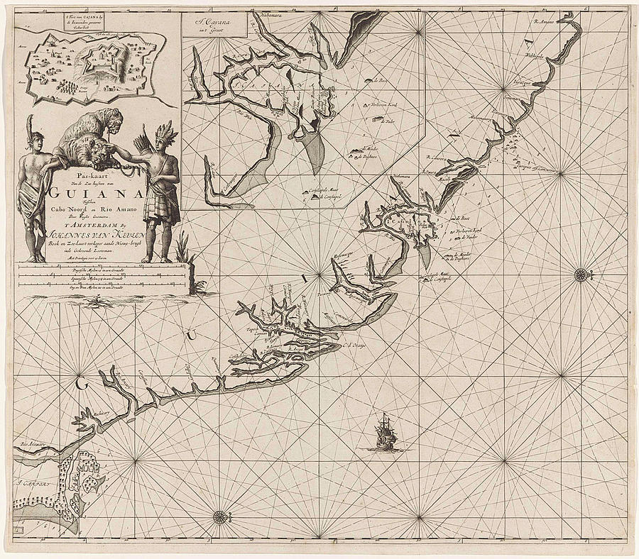
Map Drawing - Sea Chart Of The Coast Of French Guiana, Jan Luyken by Jan Luyken And Claes Jansz Voogt And Johannes Van Keulen (i)

Sea Chart Of The Coast Of French Guiana, Jan Luyken is a drawing by Jan Luyken And Claes Jansz Voogt And Johannes Van Keulen (i) which was uploaded on December 21st, 2016.

More from This Artist

View Profile

Map Of The 3rd Arrondissement Du Temple Paris France by French School
Hungary And Transylvania Map by Litz Collection
Map Of Charente France #1 by French School
Map Of The Island And Bay Of Santorin In The Greek by English School
Map Of The 16th Arrondissement De Passy Paris France by French School
Map Of The Road Between Cumberland And Wheeling by Litz Collection
Battle Of Culloden, 1746 by Litz Collection
Map Of Blois France by French School
Plate 20 Map Bounded By Rivington Street by Litz Collection
Map Of Napels, Golf Of Napels, Napoli E Contorni by Litz Collection
Map Of Budapest Hungary 1899 by Hungarian School
Map Of Saint-denis France by French School
Map Belgium, 19th Century by Litz Collection
Map Of Aveyron 1896 France by French School
Map Of Switzerland by Swiss School
Map Of Haute-vienne France by French School
Map Of Vietnam Cambodja Laos 1899 by English School
Map Of Versailles France by French School
Map Of The 6th Arrondissement Du Luxembourg Paris France by French School
Plate 3 Map Bounded By East River, Brooklyn Navy Yard by Litz Collection

Comments

There are no comments for Sea Chart Of The Coast Of French Guiana, Jan Luyken.   Click here to post the first comment.

Recently Viewed

Sea Chart Of The Coast Of French Guiana, Jan Luyken by Jan Luyken And Claes Jansz Voogt And Johannes Van Keulen (i)
Previous Image Next Image