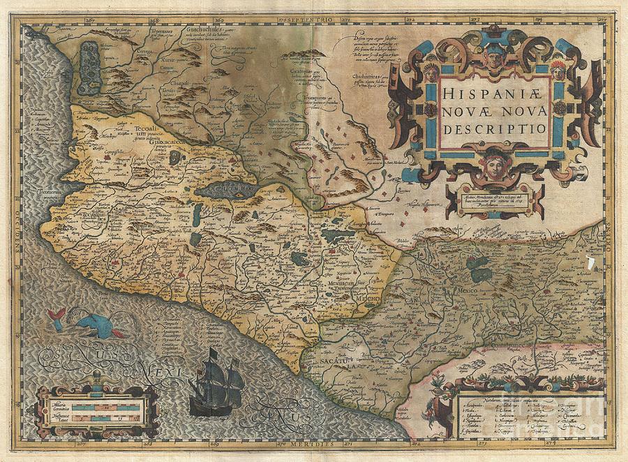
1606 Hondius and Mercator Map of Mexico is a photograph by Paul Fearn which was uploaded on July 11th, 2013.
1606 Hondius and Mercator Map of Mexico
This is a rare and often under appreciated 1606 mapping New Spain by Hondius and Mercator. Covering the viceroyalty granted to Hernan Cortez... more

by Paul Fearn
Title
1606 Hondius and Mercator Map of Mexico
Artist
Paul Fearn
Medium
Photograph
Description
This is a rare and often under appreciated 1606 mapping New Spain by Hondius and Mercator. Covering the viceroyalty granted to Hernan Cortez following his conquest of the Aztec Empire, this map details, roughly, from Mexico City westward to the Pacific coast and northward as far as modern day Michoacán. Cartographically Mercator's map is heavily influenced by Ortelius' 1579 map of the same region. Though we are uncertain of Ortelius' sources, this map exhibits a combination of known and speculative cartographic elements. Mexico City appears at right center surrounded by water as it appeared at the time of the conquest. By the time this map was drawn, much of the region between Mexico City and the Pacific ports along the coast, as well as the mining regions to the north and west, had been roughly mapped by the conquistadores. Lake Chapala (Chapalicum Mare) for example is accurately situated and formed. However, as the map extends further north into only tenuously explored regions, the cartography becomes more speculative. The large inland sea in the northwestern quadrant with is four numbered and named islands is clearly drawn from indigenous legends, most likely as transmitted via the Codex Mendoza. Elaborate baroque title cartouche in the upper right quadrant.
Uploaded
July 11th, 2013
More from Paul Fearn
Comments
There are no comments for 1606 Hondius and Mercator Map of Mexico. Click here to post the first comment.


