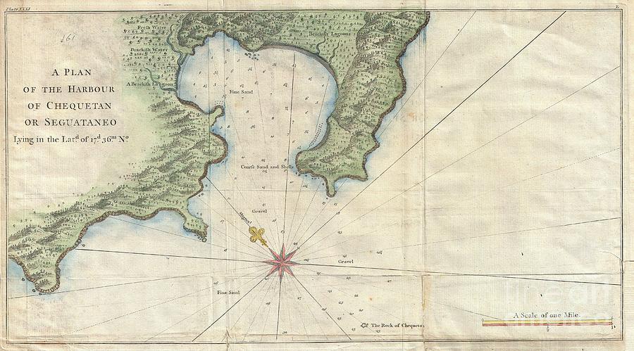
1745 Anson Map or Chart of Zihuatanejo Harbor Mexico is a photograph by Paul Fearn which was uploaded on July 20th, 2013.
1745 Anson Map or Chart of Zihuatanejo Harbor Mexico
An extremely attractive 1745 map of the Mexican harbor of Zihuatanejo Bay by George Anson.
Today Zihuatanejo is a stunningly beautiful... more

by Paul Fearn
Title
1745 Anson Map or Chart of Zihuatanejo Harbor Mexico
Artist
Paul Fearn
Medium
Photograph
Description
An extremely attractive 1745 map of the Mexican harbor of Zihuatanejo Bay by George Anson.
Today Zihuatanejo is a stunningly beautiful resort area on the Pacific in the state of Guerrero (about 250 km north of Acapulco).
This area was originally named Cihuatlán in Aztec, which means “Place of Women”, referring to the matriarchal society that dominated the region in pre-Columbian times.
Details the harbor beautifully showing mountains, waterways, and trees as well as offering detailed depth soundings and nautical references.
Uploaded
July 20th, 2013


