Looking for design inspiration?   Browse our curated collections!

Previous Image

|

Next Image
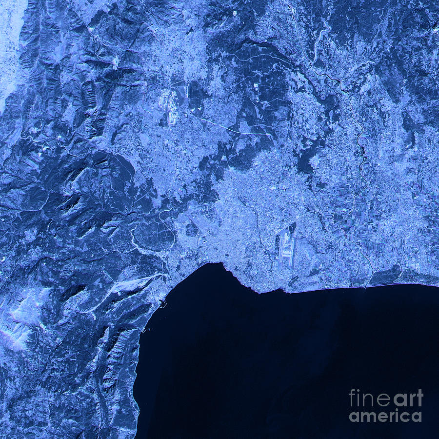
Turkey Digital Art - Antalya Abstract City Map Satellite Image Blue by Frank Ramspott

Antalya Abstract City Map Satellite Image Blue is a piece of digital artwork by Frank Ramspott which was uploaded on January 31st, 2017.

More from Frank Ramspott

View Profile

Turkey Country 3D Render Topographic Map Border by Frank Ramspott
Turkey Country 3D Render Topographic Map Neutral by Frank Ramspott
Turkey Country 3D Render Topographic Map Blue Border by Frank Ramspott
Turkey Country Map Administrative Divisions 3D Render  by Frank Ramspott
Istanbul Turkey 3D Render Aerial Landscape View From South Oct 2 by Frank Ramspott
Istanbul Turkey 3D Render Aerial Landscape View From North Oct 2 by Frank Ramspott
Istanbul Turkey 3D Render Horizon Aerial View From South Oct 201 by Frank Ramspott
Istanbul Turkey 3D Render Horizon Aerial View From North Oct 201 by Frank Ramspott
Istanbul Turkey 3D Render Aerial Top View Oct 2018 by Frank Ramspott
Istanbul Turkey 3D Render Blue Top View Oct 2018 by Frank Ramspott
Antalya Topographic Map Natural Color Top View by Frank Ramspott
Antalya 3D Landscape View South-North Natural Color by Frank Ramspott
Antalya 3D View South-North Natural Color by Frank Ramspott
Antalya 3D Little Planet 360-Degree Sphere Panorama by Frank Ramspott
Antalya Abstract City Map Satellite Image Blue Detail by Frank Ramspott
Antalya Abstract City Map Top View Dark by Frank Ramspott
Antalya Abstract City Map Golden by Frank Ramspott
Antalya Abstract City Map Black And White by Frank Ramspott
Sea Of Marmara 3D Render Topographic Map Color  by Frank Ramspott

Comments

There are no comments for Antalya Abstract City Map Satellite Image Blue.   Click here to post the first comment.

Recently Viewed

Antalya Abstract City Map Satellite Image Blue by Frank Ramspott
Previous Image Next Image