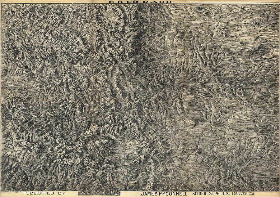
Antique Map - Pezolt's Denver and Front Range Map - 1894 is a drawing by Eric Glaser which was uploaded on January 13th, 2013.
Antique Map - Pezolt's Denver and Front Range Map - 1894
Pezolt's Denver and Front Range Map (1894)... more

by Eric Glaser
Title
Antique Map - Pezolt's Denver and Front Range Map - 1894
Artist
Eric Glaser
Medium
Drawing - Engraving
Description
Pezolt's Denver and Front Range Map (1894)
Source: United States Library of Congress
The level of detail in this map is extraordinary. To see it, click on any part of the image for a full-resolution preview.
Uploaded
January 13th, 2013
More from Eric Glaser
Comments
There are no comments for Antique Map - Pezolt's Denver and Front Range Map - 1894. Click here to post the first comment.


