Looking for design inspiration?   Browse our curated collections!

Previous Image

|

Next Image
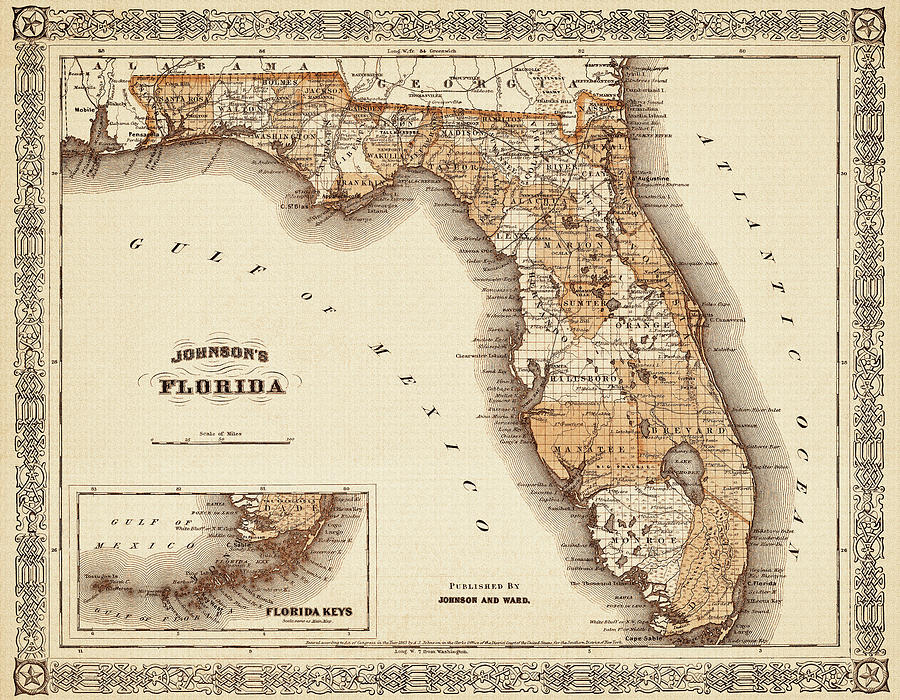
Florida Map Photograph - Historical Map of Florida 1866 Sepia  by Carol Japp

Historical Map of Florida 1866 Sepia is a photograph by Carol Japp which was uploaded on May 16th, 2021.

More from Carol Japp

View Profile

Vintage Map State of Florida 1856  by Carol Japp
Florida East Coast Railway Vintage Map 1911 by Carol Japp
Western Florida Vintage Map 1890 by Carol Japp
Pensacola Florida Birds Eye View Antique map 1885 by Carol Japp
Pensacola Bay Florida Vintage Map 1860 by Carol Japp
Pensacola Florida Birds Eye View Antique map 1885 Sepia  by Carol Japp
Pensacola Bay Florida Vintage Map 1860 Black and White  by Carol Japp
Western Florida Vintage Map 1890 Sepia  by Carol Japp
Cuba Vintage Map 1855 by Carol Japp
Western Florida Vintage Map 1890 Ocean Blue  by Carol Japp
Vintage Map West Indies and Caribbean 1864 by Carol Japp
Seventh Light House District Vintage Map Florida 1898 by Carol Japp
Miami Florida Vintage City Map 1925 Nostalgic Sepia  by Carol Japp
Florida East Coast Railway Vintage Map 1911 Black and White  by Carol Japp
Florida Vintage Map 1833 by Carol Japp
Jacksonville Florida Vintage Map Birds Eye View 1893 by Carol Japp
Florida Central and Peninsular Railroad Vintage Map 1893 by Carol Japp
Florida Antique Vintage Map 1870 by Carol Japp
Miami Florida Antique City Map 1918 Ocean Blue  by Carol Japp

Comments

There are no comments for Historical Map of Florida 1866 Sepia .   Click here to post the first comment.

Recently Viewed

Historical Map of Florida 1866 Sepia  by Carol Japp
Previous Image Next Image