20% off all products!   Sale ends tonight at midnight EST.

Previous Image

|

Next Image
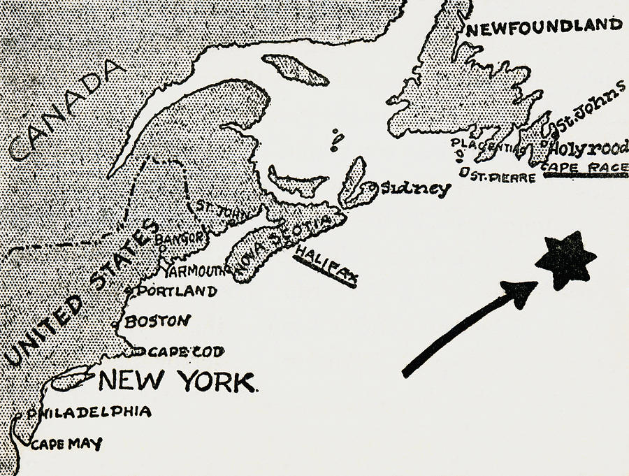
Map Drawing - Map Of Approximate Site Of The Titanic by Vintage Design Pics

Map Of Approximate Site Of The Titanic is a drawing by Vintage Design Pics which was uploaded on July 18th, 2015.

More from Vintage Design Pics

View Profile

Map Illustrating The Welsh Wars Of by Vintage Design Pics
Map Of Ancient Alexandria, Egypt. From by Vintage Design Pics
Map Showing The Battle Of Atbara by Vintage Design Pics
World Map, Circa. 1760. From  Atlas De by Vintage Design Pics
Map Of The Battle Of Omdurman by Vintage Design Pics
Skeleton Map Of South And Central by Vintage Design Pics
Sketch Map Illustrating Vasco Da Gama S by Vintage Design Pics
Map Of Athens And Piraeus, Greece, Mid by Vintage Design Pics
Map Of East Africa At Beginning Of by Vintage Design Pics
Map Showing French Territory Held by Vintage Design Pics
Map Of Central Africa Circa 1930. From by Vintage Design Pics
The Gallipoli Campaign. Map by Vintage Design Pics
Map Showing The English Dominions by Vintage Design Pics
General Map Of British South Africa by Vintage Design Pics
Map Showing The Coalfields Of Great by Vintage Design Pics
Map To King Solomon S Mines. From King by Vintage Design Pics
Map Of The Roman Empire In Ad 117 From by Vintage Design Pics
Chart Showing The Course Of The British by Vintage Design Pics
Map Illustrating The Journeys Of The by Vintage Design Pics
Fragment Of The Turgot Map Of Paris by Vintage Design Pics

Comments

There are no comments for Map Of Approximate Site Of The Titanic.   Click here to post the first comment.

Recently Viewed

Map Of Approximate Site Of The Titanic by Vintage Design Pics
Previous Image Next Image