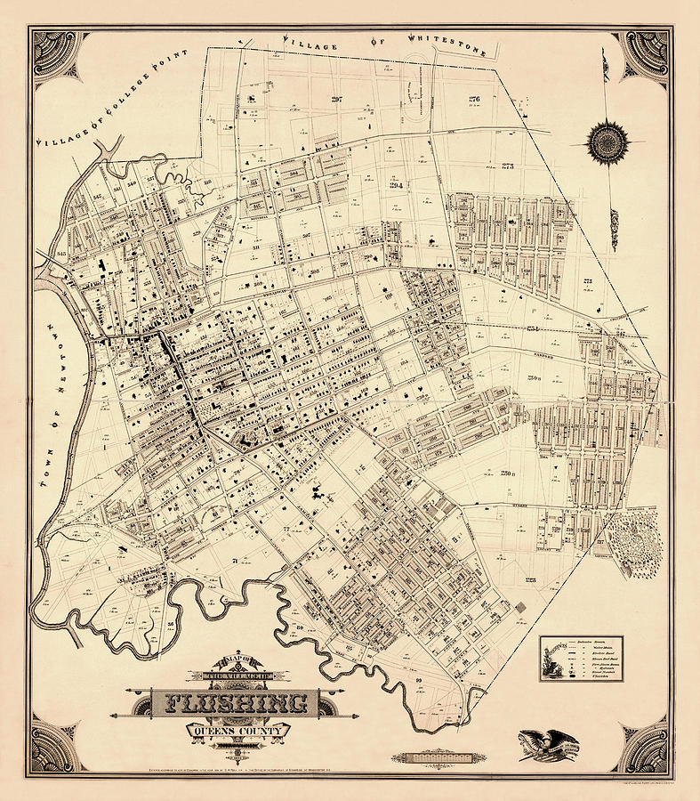
Map Of Flushing 1894b is a photograph by Andrew Fare which was uploaded on December 7th, 2017.
Title
Map Of Flushing 1894b
Artist
Andrew Fare
Medium
Photograph - Engraving
Description
Historical map of Flushing, New York circa 1894.
Uploaded
December 7th, 2017
More from Andrew Fare
Comments
There are no comments for Map Of Flushing 1894b. Click here to post the first comment.


