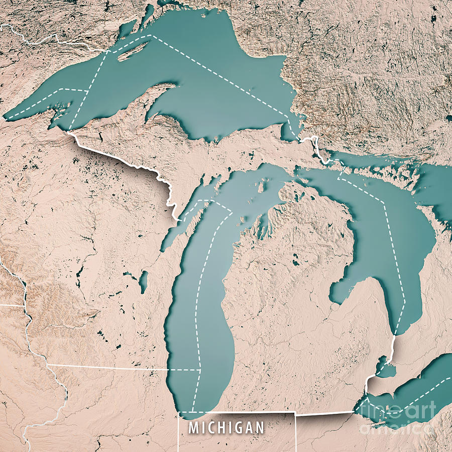
Michigan State USA 3D Render Topographic Map Neutral Border is a piece of digital artwork by Frank Ramspott which was uploaded on September 8th, 2017.
Michigan State USA 3D Render Topographic Map Neutral Border
3D Render of a Topographic Map of the State of Michigan, USA.... more
Title
Michigan State USA 3D Render Topographic Map Neutral Border
Artist
Frank Ramspott
Medium
Digital Art - Topographic Map
Description
3D Render of a Topographic Map of the State of Michigan, USA.
All source data is in the public domain.
Color texture: Made with Natural Earth.
http://www.naturalearthdata.com/downloads/10m-raster-data/10m-cross-blend-hypso/
Boundaries Level 1: USGS, National Map, National Boundary Data.
https://viewer.nationalmap.gov/basic/#productSearch
Relief texture and Rivers: SRTM data courtesy of USGS. URL of source image:
https://e4ftl01.cr.usgs.gov//MODV6_Dal_D/SRTM/SRTMGL1.003/2000.02.11/
Water texture: SRTM Water Body SWDB:
https://dds.cr.usgs.gov/srtm/version2_1/SWBD/
Uploaded
September 8th, 2017
More from Frank Ramspott
Comments
There are no comments for Michigan State USA 3D Render Topographic Map Neutral Border. Click here to post the first comment.


