Looking for design inspiration?   Browse our curated collections!

Previous Image

|

Next Image
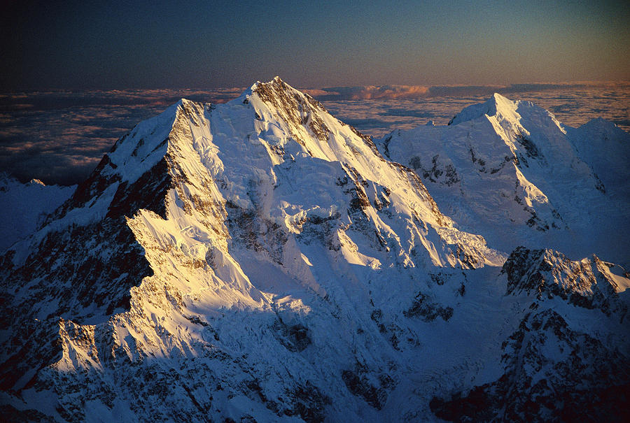
Aerial View Photograph - Mt Cook Or Aoraki And Mt Tasman, Aerial by Colin Monteath

Mt Cook Or Aoraki And Mt Tasman, Aerial is a photograph by Colin Monteath which was uploaded on October 17th, 2012.

More from This Artist

View Profile

Narwhal Pod Aerial Lancaster Sound by Flip Nicklin
Mitchell Falls Mitchell Plateau by Martin Willis
Eroded Landscape Badlands NP by Gerry Ellis
Aerial View Of Sand Dunes by Michael and  Patricia Fogden
Victoria Falls And Rainbow Zimbabwe by Vincent Grafhorst
Victoria Falls And Rainbow Zimbabwe #1 by Vincent Grafhorst
Surf On Beach Otway Natl Park Victoria by Yva Momatiuk John Eastcott
Aerial View Of Heron Island by D Parer and E Parer Cook
Narwhals Aerial Baffin Isl Canada by Flip Nicklin
Pacific Ocean Big Sur California by Sebastian Kennerknecht
Aerial View Of Sand Dunes by Pete Oxford
Aerial View Of Gokachin Lakes, Misty by Gerry Ellis
Mangrove Rhizophora Sp In Mahakam Delta by Cyril Ruoso
Islands Lake Kutubu PNG by Gerry Ellis
Aerial View Of Frozen Tundra by Konrad Wothe
Aerial View Of Hurricane Bay, Virgin by Gerry Ellis
Aerial View Of Clearcut Temperate by Gerry Ellis
Aerial View Of Hurricane Bay, Virgin #1 by Gerry Ellis
Aerial View Of Star Dune Formations by Gerry Ellis

Comments

There are no comments for Mt Cook Or Aoraki And Mt Tasman, Aerial.   Click here to post the first comment.

Recently Viewed

Mt Cook Or Aoraki And Mt Tasman, Aerial by Colin Monteath
Previous Image Next Image