Looking for design inspiration?   Browse our curated collections!

Previous Image

|

Next Image
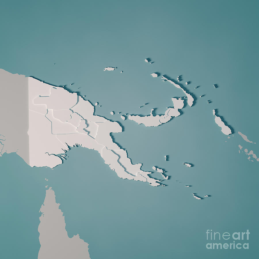
Map Digital Art - Papua New Guinea Country Map Administrative Divisions 3D Render  by Frank Ramspott

Papua New Guinea Country Map Administrative Divisions 3D Render is a piece of digital artwork by Frank Ramspott which was uploaded on February 1st, 2019.

More from Frank Ramspott

View Profile

World Map 3D Render Topographic Map Color by Frank Ramspott
The Bahamas Map Square Cities Straight Pin Vintage by Frank Ramspott
Colorado State USA 3D Render Topographic Map Neutral Border by Frank Ramspott
Crete Island Greece 3D Render Topographic Map by Frank Ramspott
Washington State USA 3D Render Topographic Map Border by Frank Ramspott
Cape Cod Topographic Map Blue Color Top View by Frank Ramspott
Pyramid Lake 3D Render Topographic Map Color by Frank Ramspott
Europe 3D Render Topographic Map Color Border by Frank Ramspott
Norway Map Square Cities Straight Pin Vintage by Frank Ramspott
World Map Countries Cities Straight Pin Vintage by Frank Ramspott
Clearwater FL City Vector Road Map Blue Text by Frank Ramspott
China 3D Render Topographic Map Color by Frank Ramspott
Alaska State 3D Render Topographic Map Border by Frank Ramspott
Lake Pend Oreille 3D Render Topographic Map Color by Frank Ramspott
New England 3D Render Topographic Map Color by Frank Ramspott
Priest Lake 3D Render Topographic Map Color by Frank Ramspott
Topographic World Map Political Divisions by Frank Ramspott
World Map 3D Render Topographic Map Color Border Cities by Frank Ramspott
Korea 3D Render Topographic Map Color by Frank Ramspott
Wyoming Map Square Cities Straight Pin Vintage by Frank Ramspott

Comments

There are no comments for Papua New Guinea Country Map Administrative Divisions 3D Render .   Click here to post the first comment.

Recently Viewed

Papua New Guinea Country Map Administrative Divisions 3D Render  by Frank Ramspott
Previous Image Next Image