20% off all products!   Sale ends tonight at midnight EST.

Previous Image

|

Next Image
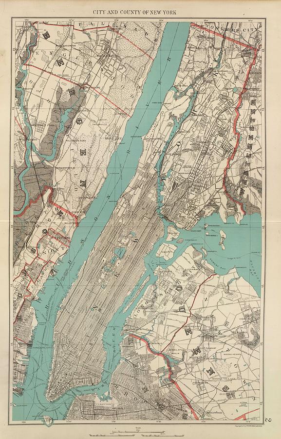
New York City Drawing - Vintage Map of New York City - 1890 by CartographyAssociates

Vintage Map of New York City - 1890 is a drawing by CartographyAssociates which was uploaded on March 1st, 2016.

More from CartographyAssociates

View Profile

Vintage Map of New York City - 1901 by CartographyAssociates
Vintage Map of New York City - 1842 by CartographyAssociates
Vintage Map of NYC and Brooklyn - 1855 by CartographyAssociates
Late Afternoon New York Winter - Childe Hassam by PaintingAssociates
Vintage New York Harbour and Queen Mary Photograph by CartographyAssociates
Vintage Map of New York City - 1911 by CartographyAssociates
Historical Map of New York City - 1664 by CartographyAssociates
Vintage Map of New York City - 1905 by CartographyAssociates
Vintage Pictorial Map of The Port of New York by CartographyAssociates
Vintage Map of New York City - 1918 by CartographyAssociates
Vintage Map of New York City - 1835 by CartographyAssociates
Vintage NYC Fire Department Map  by CartographyAssociates
Vintage Map of NYC and Brooklyn  #1 by CartographyAssociates
Vintage Map of The NYC Railways  by CartographyAssociates
Brooklyn Bridge Black and White Photograph by PhotographyAssociates
New Yorker Sitting On A Ledge by PhotographyAssociates
Vintage New York City Skyline Photograph - 1941 by CartographyAssociates
Vintage Map of New York City 1842 by Adam Shaw
Vintage Painting of New York City  by CartographyAssociates
Vintage Map of New York City  by Adam Shaw

Comments

There are no comments for Vintage Map of New York City - 1890.   Click here to post the first comment.

Recently Viewed

Vintage Map of New York City - 1890 by CartographyAssociates
Previous Image Next Image