Looking for design inspiration?   Browse our curated collections!

Previous Image

|

Next Image
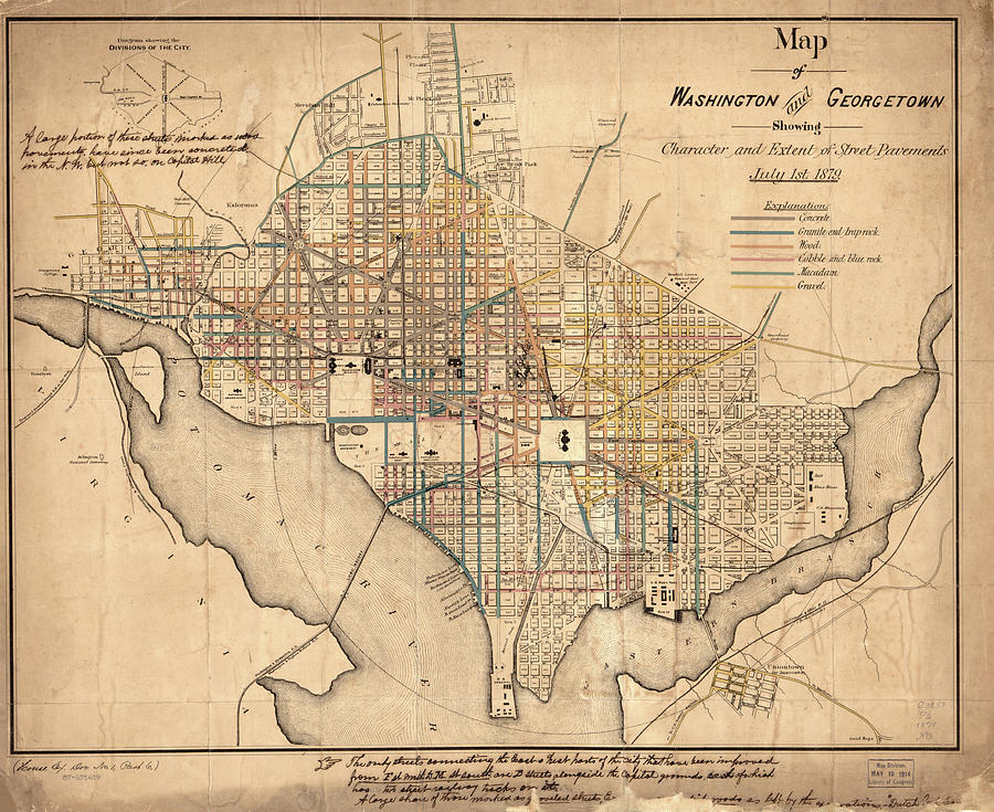
Washington D.c. Drawing - Vintage Map of Washington DC - 1879 by CartographyAssociates

Vintage Map of Washington DC - 1879 is a drawing by CartographyAssociates which was uploaded on September 15th, 2016.

More from CartographyAssociates

View Profile

Vintage Pictorial Map of Washington D.C. - 1871 by CartographyAssociates
Vintage Map of The Washington D.C. Mall - 1917 by CartographyAssociates
Vintage Map of Washington D.C. Battlefields - 1862 by CartographyAssociates
Vintage Map of Washington D.C.  #1 by CartographyAssociates
Vintage Map of Washington D.C. - 1793 by CartographyAssociates
Washington DC Aerial Photograph by PhotographyAssociates
Vintage Map of Washington D.C.  by CartographyAssociates
Vintage Map of Washington D.C. - 1909 by CartographyAssociates
Vintage Map of Washington D.C. - 1794 by CartographyAssociates
Vintage Washington D.C. Capitol Hill Map - 1815 by CartographyAssociates
Vintage Map of Washington D.C. - 1815 by CartographyAssociates
Vintage Map of Washington D.C. - 1820 by CartographyAssociates
Vintage Pictorial Map of Washington D.C. - 1916 by CartographyAssociates
Vintage Pictorial Map of Washington D.C. - 1872 by CartographyAssociates
Vintage Pictorial Map of Washington D.C. - 1901 by CartographyAssociates
Vintage Pictorial Map of Washington D.C. - 1921 by CartographyAssociates
Federal Triangle Washington D.C. by PhotographyAssociates
Vintage Aqueduct of Georgetown Map  by CartographyAssociates

Comments

There are no comments for Vintage Map of Washington DC - 1879.   Click here to post the first comment.

Recently Viewed

Vintage Map of Washington DC - 1879 by CartographyAssociates
Previous Image Next Image